If you have set your MicroSurvey project so that the current coordinate system is either "none" or one of the supported coordinate systems you can launch Global mapper via MsTools | Globalmapper:
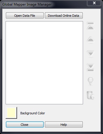
This allows you to link to either online or local data resources for display while you work on your poject, in much the same way raster images can be displayed in a drawing. At the time of this writing these images cannot be printed. Please link to this article for more information about available online data sources.
Globalmapper will not open if the coordinate system is an unsupported type. Please see the requirements below to identify if your system is supported:
The datum type must be one of the following:
- None
- Mollodensky (3 parameters)
- Bursa-Wolfe
- NAD83
The projection type must be one of the following:
- UTM
- Albers
- Lambert conformal conic 1 and 2 Parallels
- Mercator
- Polar Stereographic
- Transverse Mercator
- South Oriented Transverse Mercator
- Oblique Mercator
- Lambert Azimuth Equal Area
- Miller
- Oblique Stereographic
- Sinusoidal
- Robin
- Bonne
- Cassini
Support for more systems will be added in the future, please see the release notes of any (unreleased at the time of this article) version of MicroSurveyCAD version 14.3 or newer and STAR*NET V8 or newer for further information.
James Johnston
Comments