NovAtel provides an affordable utility named GrafNet for post processing static observations from many GPS devices which use NovAtel boards. Once post processing has been performed it can be configured to export vectors in the Waypoint format. Waypoint format files have the extension ".EXP." Follow the steps below:
1. Perform post processing. Please consult NovAtel GrafNet documentation for guidance with this task.
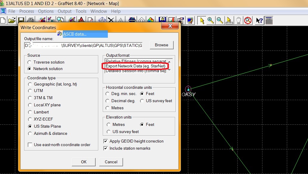
2. Configure the Write Coordinates menu as shown below
3. Pick "Browse" and browse to the location you would like to create an EXP file.
4. Pick "OK"
5. Open STAR*NET and create a new project or open an existing project to which you would like to add the vectors.
6. In Options | Project set:
- Distance units to the unit you require for final output
- Coordinate System to "Grid," and select the system you require for final output
- Any other important options
7. Open Input | Import GPS Data
8. Select "Waypoint" from the GPS Data Format pulldown
9. Pick "Select Input Files" and browse to location set in step 3 and select your EXP file
10. Pick "Import"
11. Pick "Close"
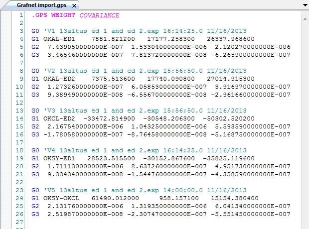
12. double click on the icon for the new .gps file that has been added to your "Data Input Files" panel to see the contents:
James Johnston
Comments