Check out the other AutoMap Articles:
Part 1 - Part 2 - Part 3 - Part 4 - Part 5 - Part 6 - Part 7 - Part 8 - Part 9 - Part 10 - Part 11 - Part 12
Symbol Rotation for Natural Features
AutoMap is a system of automated drafting tools that can help you organize many tasks. In general, the AutoMap routine allows you to work with your field codes and to assign attributes to points and linework as they are drawn in the CAD file.
Some functions of AutoMap include:
- Assigning a symbol of your choice on each point based on description
- Move descriptions, points, elevations, and points to a layer of a given name
- Scaling a symbol to further customize each object
- Connecting points using the line connectivity function
- Further customizing linework with specific layers and line types
In this article we’re going to look at rotating the object randomly so the object appears more natural
Start with creating a new AutoMap entry:
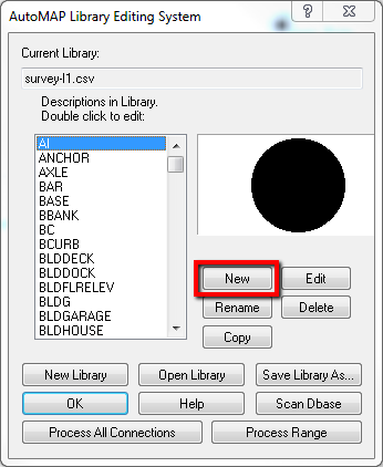
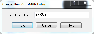
Name it SHRUB1:
Configure as follows:
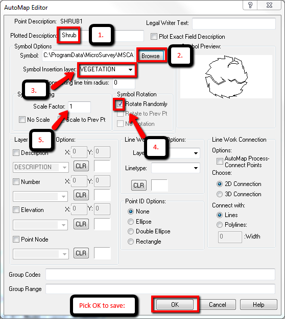
- Set the Plotted Description. This can be more descriptive version of the short field code.
- Browse to the symbol named SHRUB2 C:\ProgramData\MicroSurvey\MSCAD\2016\mscad\blocks\SHRUB2.dwg
- Assign the layer name you would like to see created when you insert the symbol vegetation. This will insert the symbol on the correct layer.
- “Rotate randomly” is a good setting for natural objects as it does not make symbols appear identical.
- Leave the scale factor setting at 1.
Here is an example of the result:

Check out the other AutoMap Articles:
Part 1 - Part 2 - Part 3 - Part 4 - Part 5 - Part 6 - Part 7 - Part 8 - Part 9 - Part 10 - Part 11 - Part 12
Olivia Floyd
Comments