Leica Infinity Release 2.3 includes an option to export baselines to SKI Ascii format so that STAR*NET can be used to perform least squares adjustment. This feature has been enhanced to use extended precision in the variance/covariance fields to provide more precise weighting information for high precison work. Please follow the guide below to see how to exchange between the two programs:
Steps in Infinity:
1. Import and Post Process your baselines. See This Tutorial if you would like to learn how to do this.
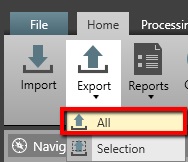
2. On the Home Ribbon, select Export | All
3. This will prompt you to select a location for your export.
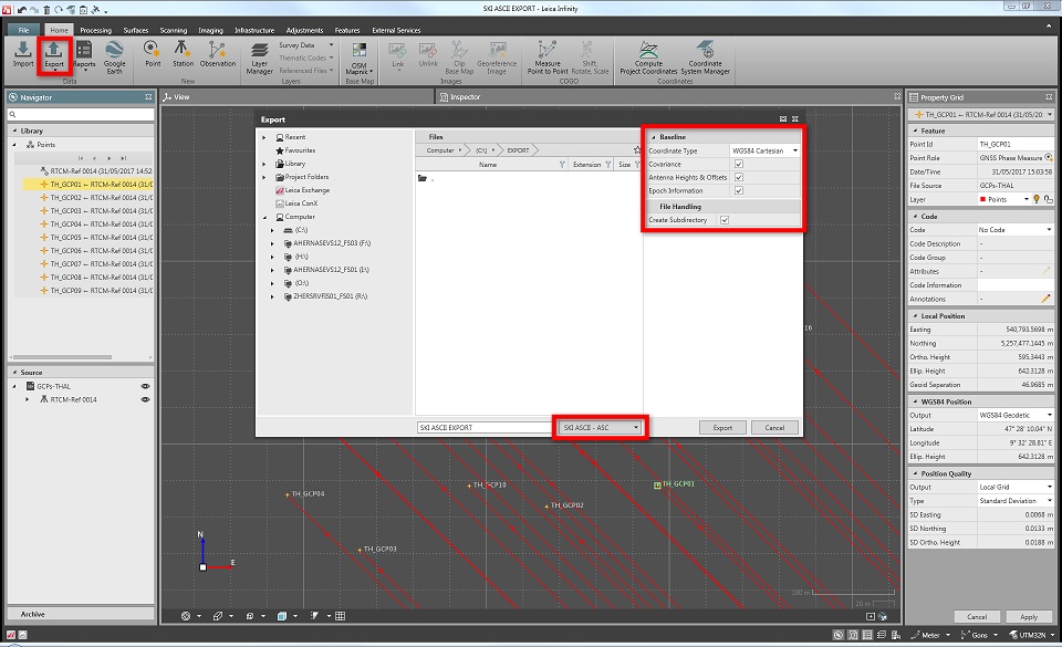
4. Provide a name for your export and select "SKI ASCII - ASC" from the Export format dialog:
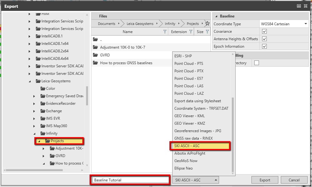
5. In the Baseline section of the Export dialog Select:
- Coordinate Type: WGS84 Cartesian
- Covariance is checked on
- Antenna Heights and Offsets are checked on
- Epoch Information
5. Pick "Export"
6. Save your project and exit Infinity
Steps in STAR*NET
1. Create a New Project or open an existing one
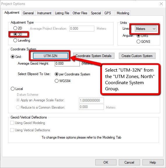
2. In Options | Project ensure that the "Adjustment" tab is configured properly. See the example below if you are using the sample data from the Infinity Tutorial:
3. Be sure that you have constrained a point to use for control in your project. In the example below I have copied the lat/long for the WIDN point from Infinity and entered it as a "PH" record that is held fixed using the "!!!" symbols:
- Copy the lat/long from here:
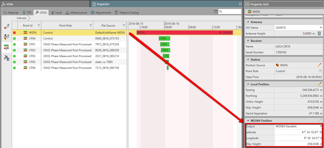
- Enter a PH record here:

4. Now open Input | Import GPS Data
- Select "Leica"
- "Select Input Files"
- Browse to the SKI ascii you exported
- Open

5. Pick "Import"

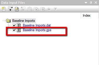
6. Close the import dialog. Note that a new "*.gps" file has been added to your project Input panel:
7. Configure the options and run your adjustment.
James Johnston
Comments