Georeferenced Images for FieldGenius
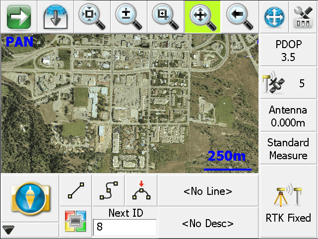
You can load georeferenced JPG or TIFF images into your FieldGenius Project, and control the visibility of the image.
In FieldGenius under Image File Settings, you can control the visibility of your image by checking or unchecking the box beside the name of the image file, under the Image Files section of the tree. If the box is checked, then the image is turned on and it will be visible; if unchecked, then the image is turned off and it will not be visible.
When you close the Project, the visibility and opacity status of the image file will be saved so that the next time the Project is opened, the image visibility will automatically be set the same as you had left it.
There is a Lisp routine to Export a World file for a selected raster image or Bing image in MicroSurvey CAD
Click on this link to download the lisp file
Click here to watch a video which explains the process
Jose Ramirez
Comments